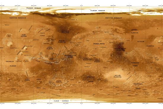
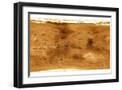
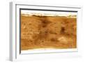
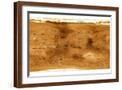
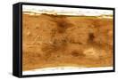
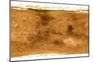
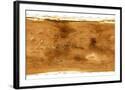
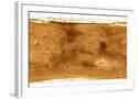
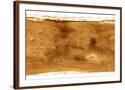
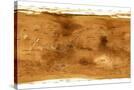
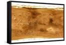
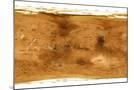
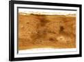
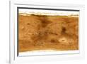
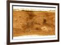
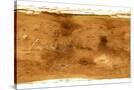
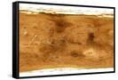
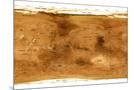
Mars Topographical Map, Satellite Image
Choose size
Finished Size: 18" x 12"

Just the Print
$27
Chelsea Black
$116
Chelsea White
$116
Chelsea Espresso
$116

Stretched Canvas
Framed Canvas
Wood Mount
$86

Laminate
$52
Just the Print
Black Frame
White Frame
Brown Frame
Stretched Canvas
$89
Canvas Black
$159
Wood Mount
Laminate

Just the Print
$32
Chelsea Black
$269
Chelsea White
$269
Chelsea Espresso
$269
Stretched Canvas
$89
Canvas Black
$159
Wood Mount
$122

Laminate
$57

Just the Print
$38
Gramercy Black
$275
Gramercy White
$275
Gramercy Espresso
$275
Stretched Canvas
$159
Canvas Black
$229
Wood Mount
$140

Laminate
$63
see more frame options
$27
Arrives by Fri, Oct 24 to 66952

$27
18" x 12" - Photographic Print
18" x 12" - Photographic Print