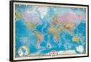
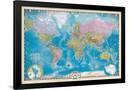
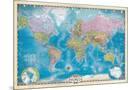
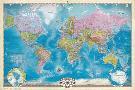
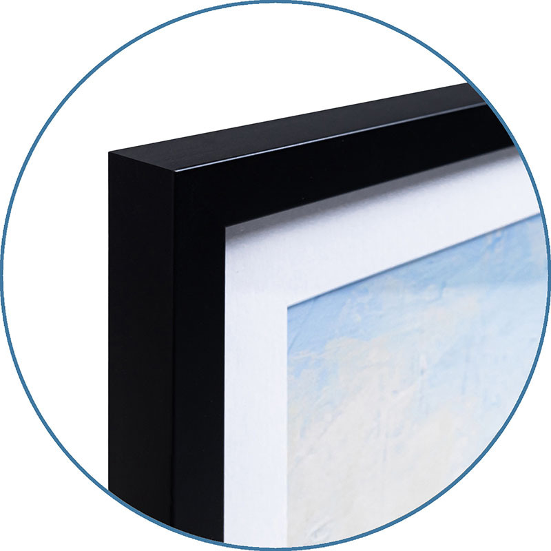
Enhance your space with this Map of the World with Poles poster, a detailed and educational addition for homes, offices, or classrooms. This world map features clearly defined countries, continents, and bodies of water, with vibrant colors used to distinguish different regions. Political boundaries, capitals, and major cities are prominently displayed, making it a functional and visually appealing resource for geography enthusiasts. The map includes inset illustrations of the North and South Poles, providing additional context and detail for these oftenoverlooked regions. The decorative border and compass rose add a touch of vintage charm, blending classic cartographic style with modern accuracy. The ocean areas feature subtle topographic shading to indicate depth, enhancing the maps realism. Perfect for anyone looking to combine style with functionality, this lightweight and easytohang poster serves as a versatile piece for learning, planning, or decorating.