Map of the Northside of Chicago (C. 1900), Maps
Choose size
Finished Size: 30" x 30"

Just the Print
$20

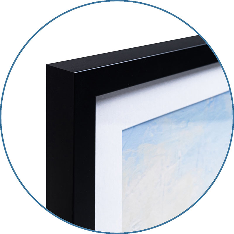
Chelsea Black
$125

Chelsea White
$125

Chelsea Espresso
$125

Stretched Canvas
$69

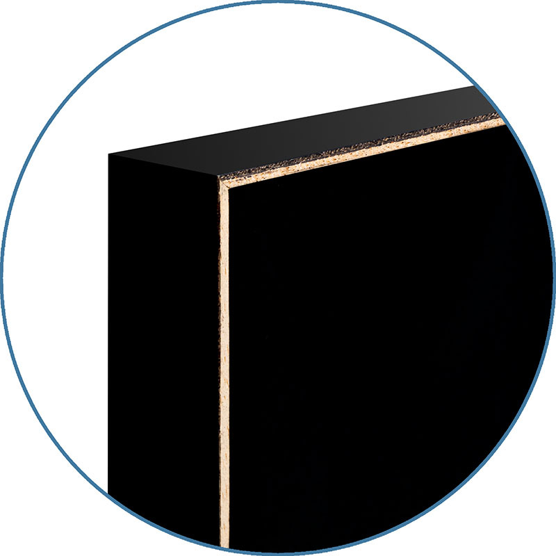
Canvas Black
$141

Wood Mount
$89

Laminate
$45

Just the Print
$20

Chelsea Black
$136

Chelsea White
$136

Chelsea Espresso
$136

Stretched Canvas
$69

Canvas Black
$141

Wood Mount
$89

Laminate
$45
Just the Print
Black Frame
White Frame
Brown Frame

Stretched Canvas
$69

Canvas Black
$141
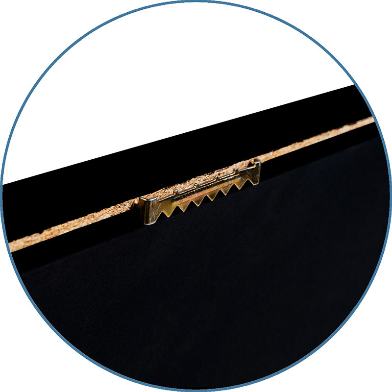
Wood Mount
Laminate

Just the Print
$26

Chelsea Black
$263

Chelsea White
$263

Chelsea Espresso
$263

Stretched Canvas
$79

Canvas Black
$151

Wood Mount
$116

Laminate
$51

Just the Print
$36

Gramercy Black
$273

Gramercy White
$273

Gramercy Espresso
$273

Stretched Canvas
$129

Canvas Black
$201

Wood Mount
$138

Laminate
$61
Just the Print
Black Frame
White Frame
Brown Frame

Stretched Canvas
$129
Framed Canvas
Wood Mount
Laminate

Just the Print
$62
Black Frame
White Frame
Brown Frame

Stretched Canvas
$329
Framed Canvas
Wood Mount
Laminate
see more frame options
$36
Arrives by Wed, May 14 to 66952

$36
30" x 30" - Art Print
30" x 30" - Art Print