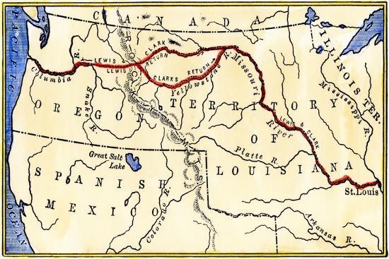
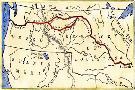
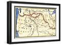
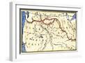
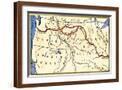
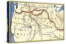
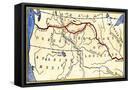
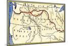
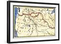
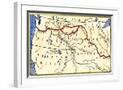
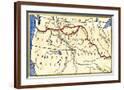
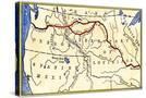
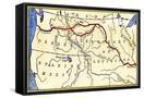
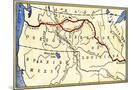
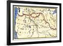
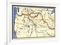
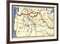
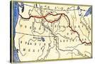
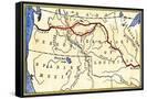
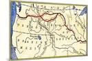
Map of the Lewis and Clark Route across Louisiana Territory, c.1804-1806
Choose size
Finished Size: 18" x 12"
Just the Print
$32
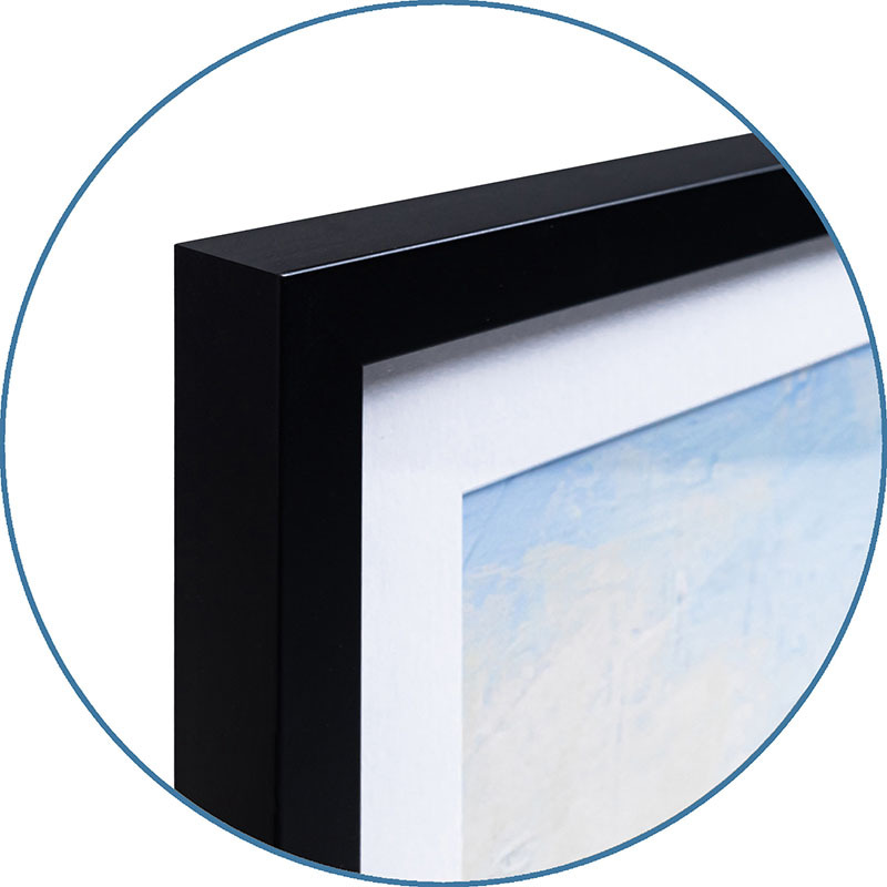
Chelsea Black
$121
Chelsea White
$121
Chelsea Espresso
$121
Stretched Canvas
$69
Canvas Black
$139
Wood Mount
$91

Laminate
$57

Just the Print
$38
Chelsea Black
$154
Chelsea White
$154
Chelsea Espresso
$154
Stretched Canvas
$89
Canvas Black
$159
Wood Mount
$128

Laminate
$63

Just the Print
$49
Gramercy Black
$286
Gramercy White
$286
Gramercy Espresso
$286
Stretched Canvas
$159
Canvas Black
$229
Wood Mount
$151

Laminate
$74
see more frame options
$32
Arrives by Sat, Sep 27 to 66952

$32
18" x 12" - Giclee Print
18" x 12" - Giclee Print