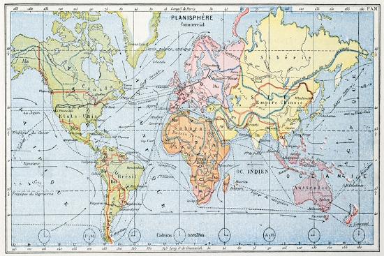
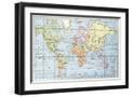
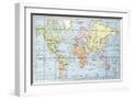
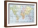
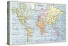
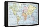
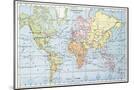
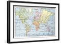
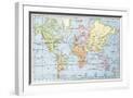
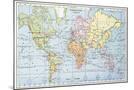
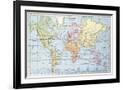
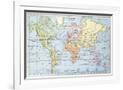
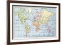
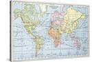
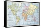
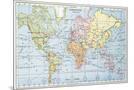
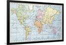
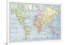
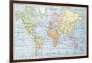
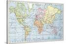
Map Showing the Principal World Trade Shipping Routes, 1912
Choose size
Finished Size: 18" x 12"

Just the Print
$38
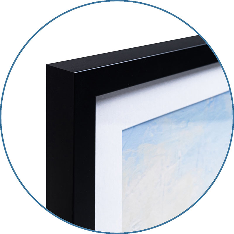
Chelsea Black
$143
Chelsea White
$143
Chelsea Espresso
$143
Stretched Canvas
$79
Canvas Black
$151
Wood Mount
$107
Laminate
$63

Just the Print
$60
Chelsea Black
$176
Chelsea White
$176
Chelsea Espresso
$176
Stretched Canvas
$89
Canvas Black
$161
Wood Mount
$150

Laminate
$85

Just the Print
$104
Gramercy Black
$341
Gramercy White
$341
Gramercy Espresso
$341
Stretched Canvas
$169
Canvas Black
$241
Wood Mount
$206

Laminate
$129

Just the Print
$153
Gramercy Black
$610
Gramercy White
$610
Gramercy Espresso
$610
Stretched Canvas
$339
Framed Canvas
Wood Mount
Laminate
see more frame options
$38
Arrives by Sat, May 31 to 66952

$38
18" x 12" - Premium Giclee Print
18" x 12" - Premium Giclee Print