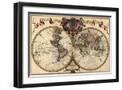
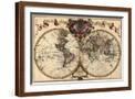
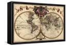
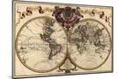
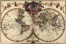
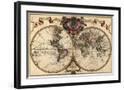
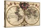
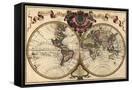
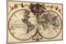
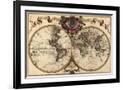
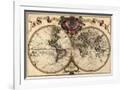
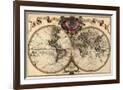
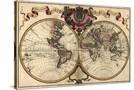
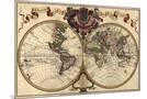
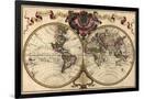
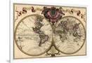
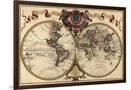
French World Map Shows Nautical Exploration Routes and Political Boundaries, 1720
Choose size
Finished Size: 19" x 13"

Just the Print
$20
Chelsea Black
$125

Chelsea White
$125
Chelsea Espresso
$125

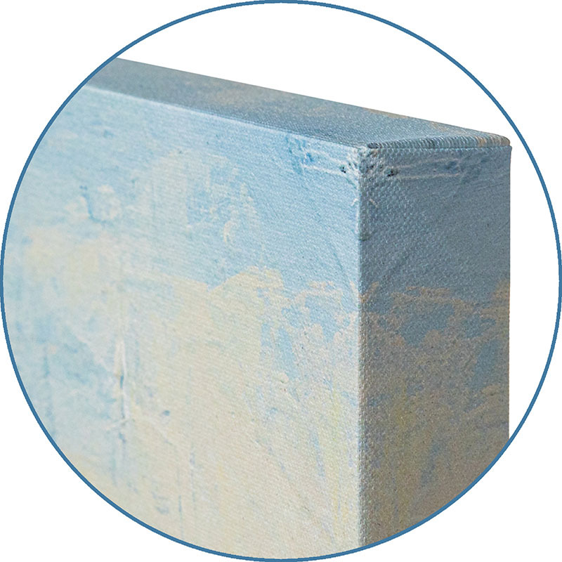
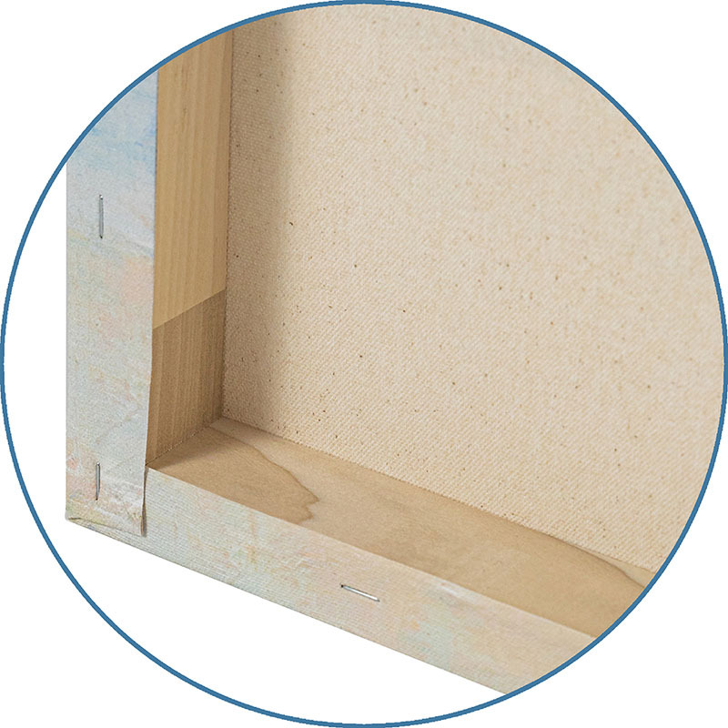
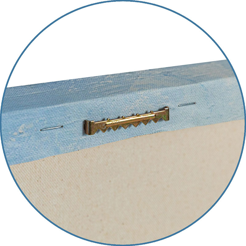
Stretched Canvas
$69
Canvas Black
$141
Wood Mount
$89

Laminate
Just the Print
$26
Chelsea Black
$142

Chelsea White
$142

Chelsea Espresso
$142
Stretched Canvas
$79
Canvas Black
$151
Wood Mount
$116
Laminate
$51

Just the Print
$36
Gramercy Black
$273
Gramercy White
$273
Gramercy Espresso
$273
Stretched Canvas
$129

Canvas Black
$201
Wood Mount
$138

Laminate
$61

Just the Print
$62
Gramercy Black
$519
Gramercy White
$519
Gramercy Espresso
$519

Stretched Canvas
$329
Framed Canvas
Wood Mount
Laminate
see more frame options
$141
Arrives by Mon, May 12 to 66952

$141
18" x 12" - Canvas Black Frame
18" x 12" - Canvas Black Frame