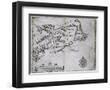
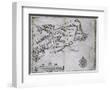
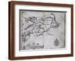
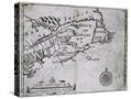
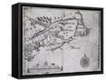
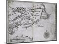
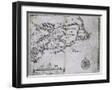
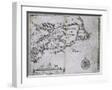
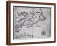
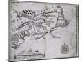
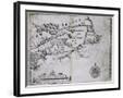
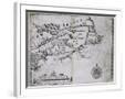
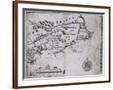
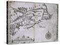
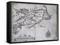
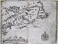
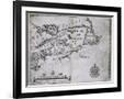
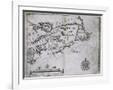
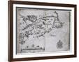
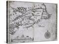
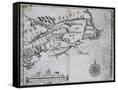
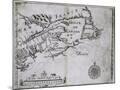
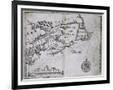
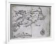
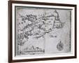
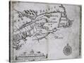
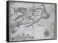
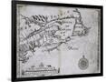
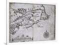
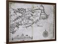
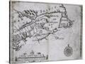
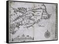
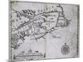
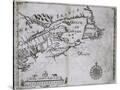
Early 17th-Century Map of the North American Coast from Cape Cod to Newfoundland
Choose size
Finished Size: 12" x 9"

Just the Print
$32
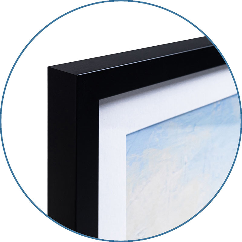
Chelsea Black
$137
Chelsea White
$137
Chelsea Espresso
$137
Stretched Canvas
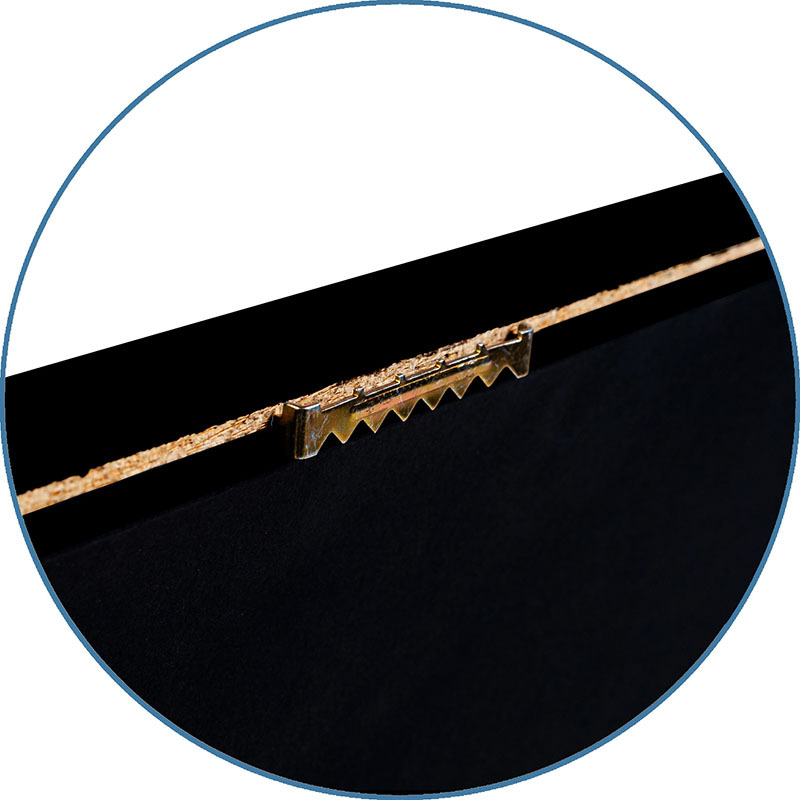
Framed Canvas
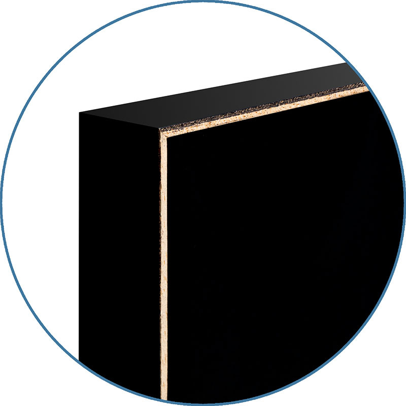
Wood Mount
$101

Laminate
$57

Just the Print
$32
Chelsea Black
$137
Chelsea White
$137
Chelsea Espresso
$137
Stretched Canvas
$79
Canvas Black
$151
Wood Mount
$101

Laminate
$57

Just the Print
$38
Chelsea Black
$154
Chelsea White
$154
Chelsea Espresso
$154
Stretched Canvas
$89
Canvas Black
$161

Wood Mount
$128

Laminate
$63
Just the Print
$49
Gramercy Black
$286
Gramercy White
$286
Gramercy Espresso
$286
Stretched Canvas
$169
Canvas Black
$241
Wood Mount
$151

Laminate
$74

Just the Print
$60
Gramercy Black
$297
Gramercy White
$297
Gramercy Espresso
$297
Stretched Canvas
$189
Canvas Black
$261

Wood Mount
$162

Laminate
$85

Just the Print
$87
Gramercy Black
$544
Gramercy White
$544
Gramercy Espresso
$544
Stretched Canvas
$339
Canvas Black
$491
Wood Mount
$338
Laminate

Just the Print
$87
Black Frame
White Frame
Brown Frame
Stretched Canvas
$339
Framed Canvas
Wood Mount
Laminate
see more frame options
$32
Arrives by Sat, Aug 9 to 66952

$32
12" x 9" - Giclee Print
12" x 9" - Giclee Print