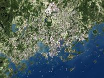
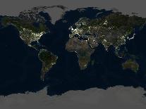
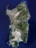
Scandinavia, truecolour satellite image. North is at top. Water is blue, snow and ice are white, and vegetation is green. The Scandinavian Peninsulas topography was carved by glaciers in the last ice age. The North Sea coast (left) has numerous deep inlets called fjords. The land rises to form the coastal mountains of Norway (white). Further inland, lowlands in Sweden extend to the shores of the Baltic Sea. Beyond is Finland (upper right), and Estonia, Latvia, and Lithuania (lower right). Across bottom are parts of Poland and Germany, and all of Denmark (lower left). Denmark is considered to be culturally a part of Scandinavia, though the peninsula is just Norway and Sweden.

Work by PLANETOBSERVER
View All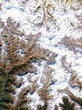
Related Categories
- Top
- Travel
- Photography
- World Cultures
- Landscapes
- Natural Landscapes
- Mountains
- Travel Art
- Sweden
- Science
- Forests
- Norway
- Denmark
- Europe
- Finland
- P
- Artists
- Art
- Subjects
- World Regions
- Geography
- European Nations
- Photography Subjects
- Scandinavian Culture
- Artists by Name
- Social Sciences
- European Cultures
- Travel (Photography)
- Other Subjects
- Travel by Style
- PLANETOBSERVER
- Landscapes by Type
- Back to School